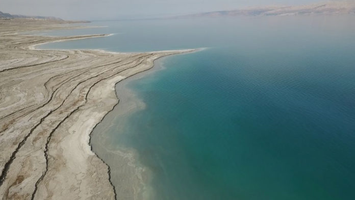
NASA, has released the false colored images of the Dead Sea from 1972- spanning about 20 years intervals- 1972, 1989 and 2011. Dead Sea, named so because of the hyper-salinity and the apparent lack of life, except, the recently discovered microbes. The Dead Sea is seen at a depression in the rift seen in the Earth’s crust between 2 major continents- Africa and Asia, where these continents are pulling apart. It’s the lowest surface feature anywhere on Earth, with shores located 1,300 feet below sea level.
 Because of the hyper saline nature, nothing ever drowns in the dead sea, and things only float. As per the satellite images by NASA illustrate that the Dead Sea has been “dying” gradually and dramatically. According to a study, released by EcoPeace Middle-East, the Dead Sea has lost more than 1/3rd of its surface area, shrinking at a rate of 3.3 feet /year.
 In the false colored images, deep waters are in dark blue, while shallow waters are in bright blue, while pink and tan denote the barren desert, green specifies sparse vegetation, and red shows dense vegetation. In the center is the Lisan Peninsula, which, unfortunately, due to shrinking, now is a land-bridge across the Sea.
 The ancient Egyptians put into use, the salts from the Dead Sea for the mummification and fertilizers. While, in the modern age, NaCl (Sodium Chloride) and potassium salts separated are used for various purposes.
By: Archa Dave


